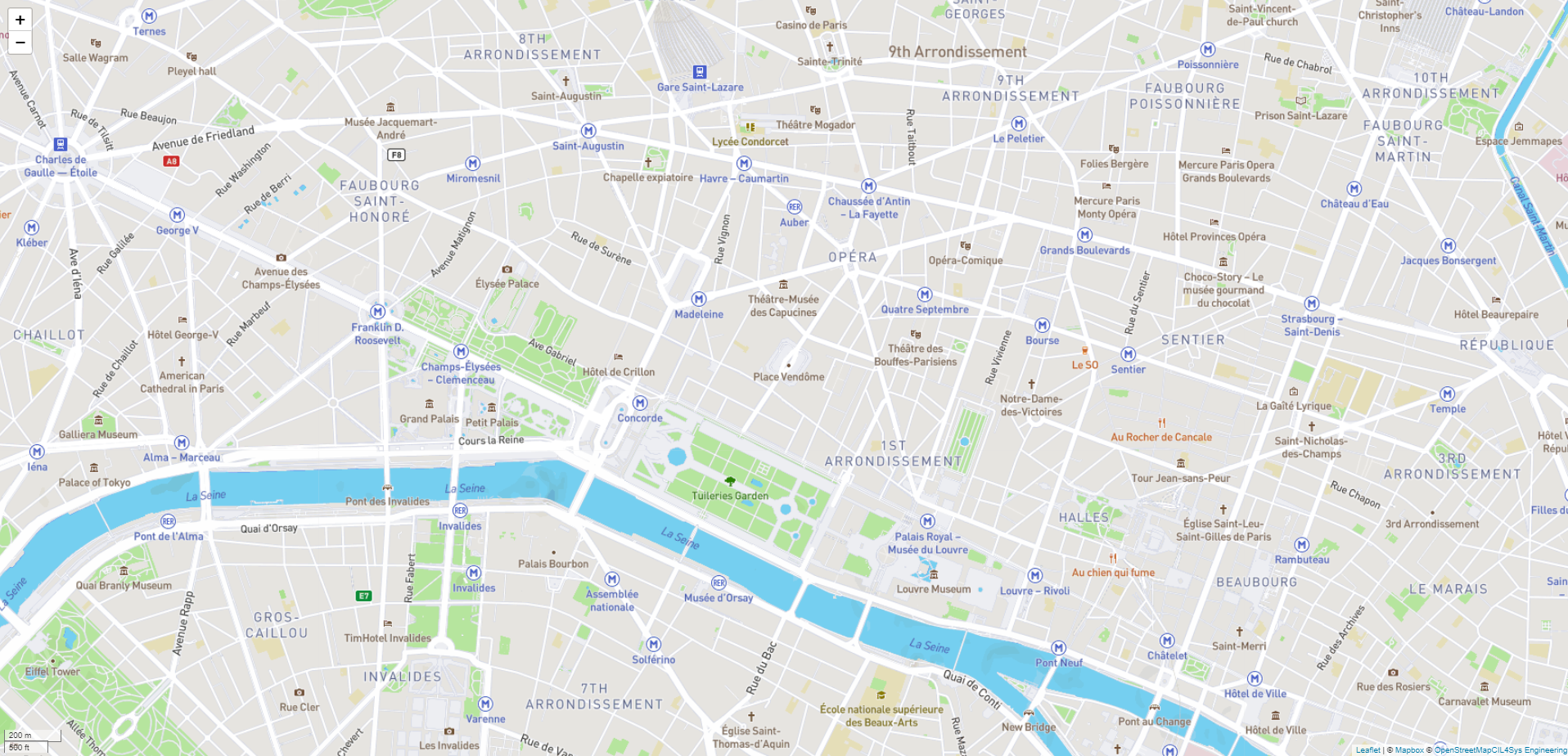
Map Element
This element is map font of Map Context. Only one map can be added on this context. We suggest to first enter longitude and latitude of map center. This element must be used with Map context.
Icon
HMI Representation

External parameters�
You can edit the units
Show/Hide all parameters
| parameter | editable via "Parameter" tab | updatable via a mapping | description | default unit | type |
|---|---|---|---|---|---|
| Longitude | ✔️ | ✔️ | Initialize map longitude on scenario opening | degree | Decimal number |
| Latitude | ✔️ | ✔️ | Initialize map latitude on scenario opening | degree | Decimal number |
| Map Style | ✔️ | ✔️ | Mapbox Map style. See Mapbox website for available style. (Ex: streets-v11) | - | Text |
| Visibility | ✔️ | ✔️ | This parameter allows you to choose if you want the element to be visible or not on the scene during the execution of the scenario. If the item is part of a group, it can inherit the value of that group. | - | Enumeration (visible, hidden, inherit) |
| X-axis position | ❌ | ❌ | Position of the element's upleft corner on the X-axis. | meter | Decimal number |
| Y-axis position | ❌ | ❌ | Position of the element's upleft corner on the Y-axis. | meter | Decimal number |
| Length | ❌ | ❌ | Length of the Map. | meter | Decimal number |
| Width | ❌ | ❌ | Width of the Map. | meter | Decimal number |
| Draw Polygon property | ❌ | ❌ | This parameter defines various properties of the polygon, such as, its points, its center, and its ID (It also applies to rectangles). | - | List of points, Polygon Center, Polygon type, Polygon Id |
Triggered behaviours
See Triggered behaviours and events page for more explanation: Triggered behaviours and events.
Show/Hide all triggered behaviours
Destroy
At the reception of the flow, the element is destroy.
No parameters for this triggered behaviour.
Add/Update Marker on map
Add marker on map or update it if it already exist.
Show/Hide all parameters
| parameters | description | default unit | type |
|---|---|---|---|
| Id | The marker id to add/update. | - | Text |
| Longitude | The longitude of the marker. | degree | Decimal number |
| Latitude | The latitude of the marker. | degree | Decimal number |
| SVG Definition | The definition of the marker. Make sure your SVG is valid before entering a value in field. Choose a preset definition. | - | Text |
| Name of the layer | The name of the layer. | - | Text |
| Marker information | Information of the marker displayed in popup. | - | Text |
Clear marker
Clear specific marker if it already exists.
Show/Hide all parameters
| parameters | description | default unit | type |
|---|---|---|---|
| Id | The marker id to clear. | - | Text |
Add/Update Polyline on Map
Add Polyline on map or update it if it already exists.
Show/Hide all parameters
| parameters | description | default unit | type |
|---|---|---|---|
| Id | The polyline id to add/update. | - | Text |
| Trajectory | Trajectory with list of coordinates (ex: [[lng,lat],[lng,lat],...]) | - | List of coordinates |
| Color | The color of the polyline. You can use HEX,RGB.. color (ex: #000000 is black) | - | Text |
| Name of the layer | The name of the layer. | - | Text |
Clear polyline
Clear specific polyline if it already exists.
Show/Hide all parameters
| parameters | description | default unit | type |
|---|---|---|---|
| Id | The polyline id to clear. | - | Text |
Add/Update Polygon on map
Add Polygon on map or update it if it already exists.
Show/Hide all parameters
| parameters | description | default unit | type |
|---|---|---|---|
| Id | The polygon id to add/update. | - | Text |
| Polygon Geometry | Geometry with list of coordinates (ex: [[lng,lat],[lng,lat],...]) | - | List of coordinates |
| Fill Color | The color inside the polygon . You can use HEX,RGB.. color (ex: #000000 is black) | - | Text |
| Stroke Color | The color of the polygon edge. You can use HEX,RGB.. color (ex: #FFFFFF is white) | - | Text |
| Fill Opacity | The opacity of the fill color (a decimal between 0 and 1, 0 is transparent) | - | Decimal |
| Layer | The name of the layer | - | Text |
| Information about | Information about this polygon, information is displayed when you click on the polygon | - | Text |
Clear Polygon
Clear specific polygon if it already exists.
Show/Hide all parameters
| parameters | description | default unit | type |
|---|---|---|---|
| Id | The polygon id to clear. | - | Text |
Events
See Triggered behaviours and events page for more explanation: Triggered behaviours and events.
Show/Hide all events
| event | description |
|---|---|
| On Parameter Value Changed | The element can send information to the model when the value of the selected parameter has changed |
| At initialization | The map can send information to the model once at initialization. |
| Continually | The map can send information to the model continuously. |
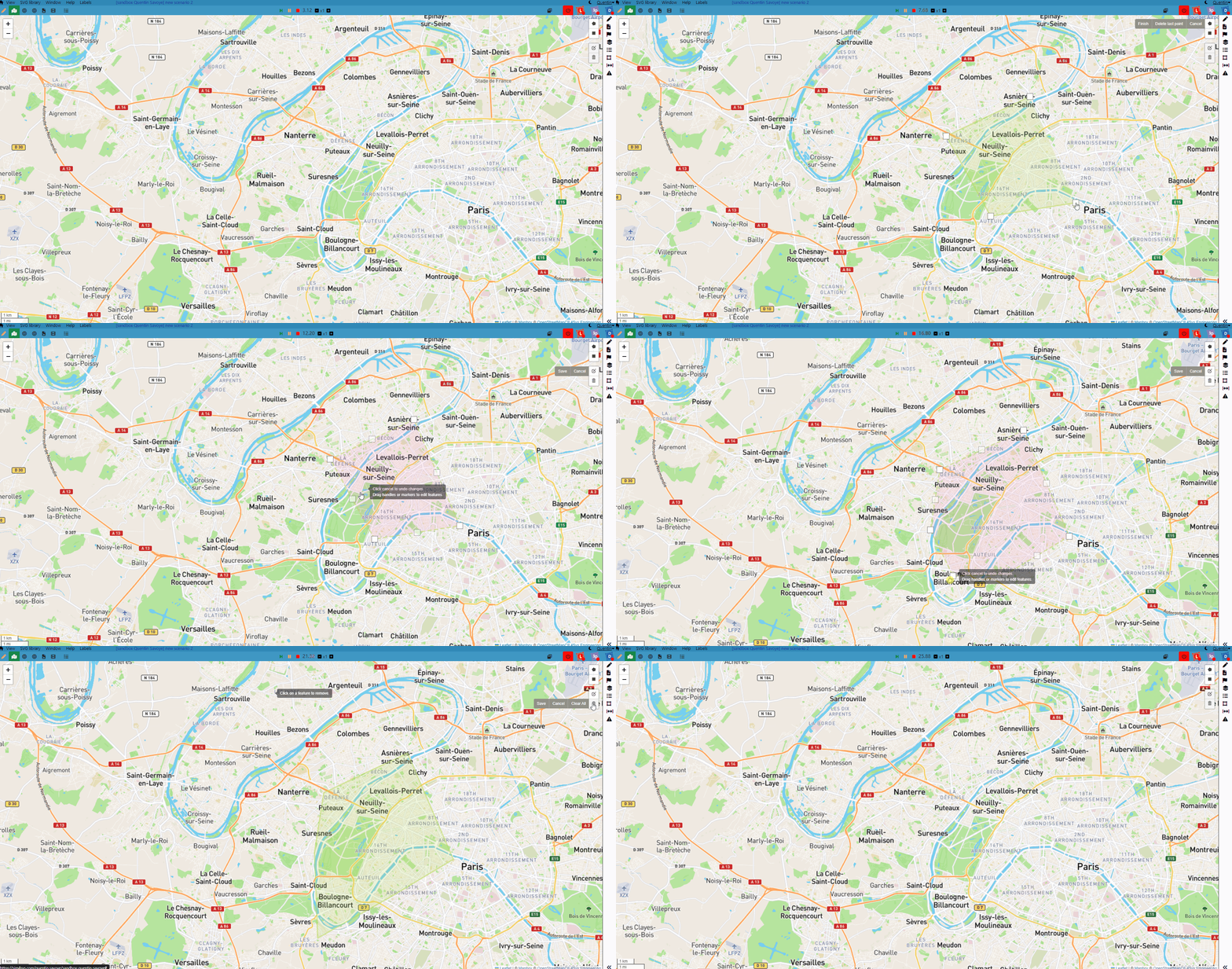
| On Map Element Draw | The map can send information each time you draw a new polygon on the map, when connecting the last point of the polygon to the first, or when clicking on the Finish button while placing the polygon points. Also works with rectangles. |
| On Map Element Edition | The map can send information each time you edit an already existing polygon on the map, when clicking the Save button. Also works with rectangles. |
| On Map Element Deletion | The map can send information each time you delete a polygon on the map, when clicking on the Save button after selecting a polygon to delete, or when clicking on the Clear All button. Also works with rectangles. |
Polygons
Both in Run mode and in Edit mode, it is possible to draw a polygon or a rectangle right on the map, by using the set of tools available on the top-right of the Map context. The options are the following:
- Draw a polygon: Let you define each point of a new polygon.
- Draw a rectangle: Allows to easily define a polygon by creating a rectangle directly.
- Edit Layers: Let you edit already existing polygons or rectangles on the map.
- Delete Layers: Let you delete any polygon or rectangle on the map.
Here is an example of a polygon creation, edition, and deletion:
