Road Sign
This element is a generic road sign.
| Is an equipment | ❌ |
| Can have equipment | ❌ |
This element must be used with 2D scene context.
This can be used to represent different road signs, specifying the type of sign.
Icons
Representations
| Road Sign Type | 2D Representation | 3D Representation |
|---|---|---|
| A13b |  | 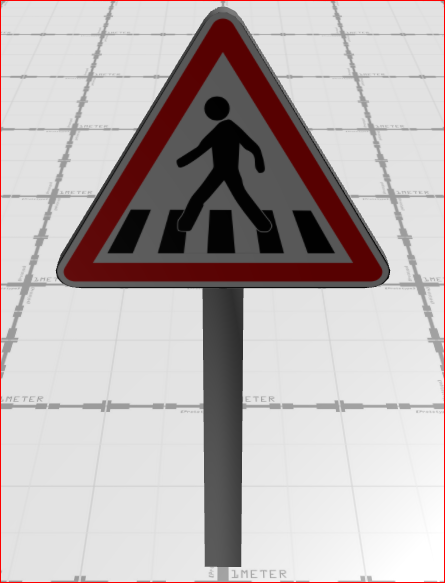 |
| A14 |  | 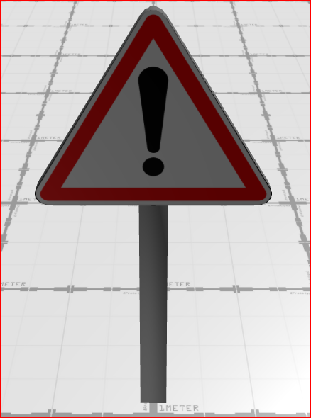 |
| AB4 |  | 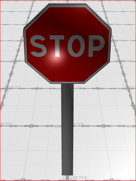 |
| B0 |  | 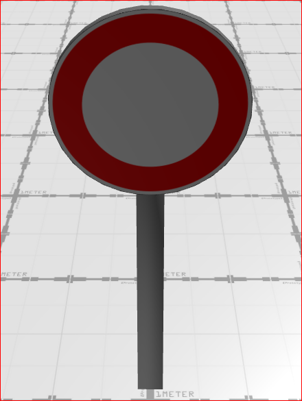 |
| B1 |  | 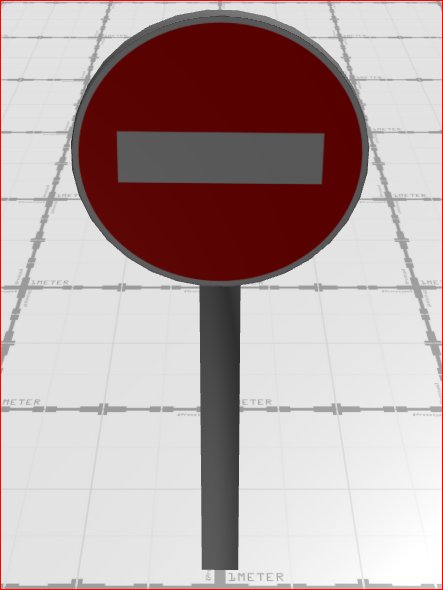 |
| B14 |  | 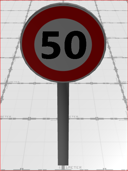 |
| B25 |  | 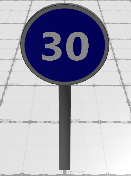 |
| B31 |  | 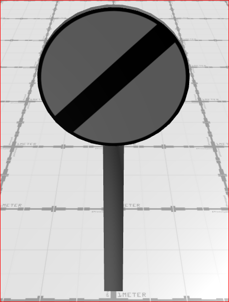 |
| B33 |  | 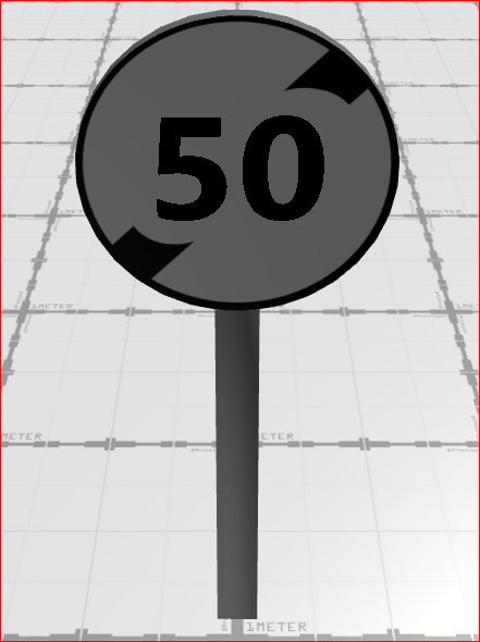 |
| B43 |  | 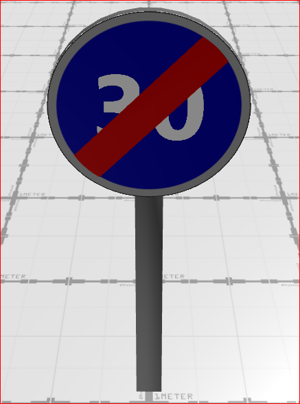 |
| B6a1 |  | 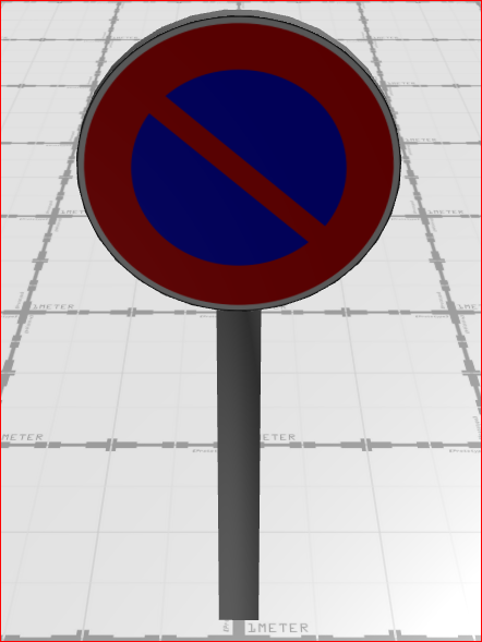 |
| B6a2 |  | 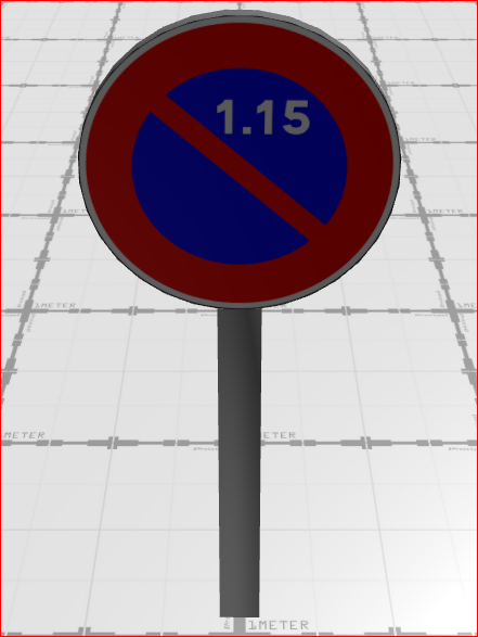 |
| B6a3 |  | 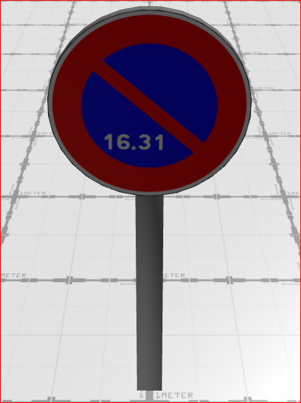 |
| B6d |  | 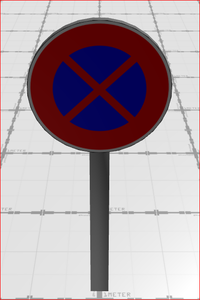 |
| C62 |  | 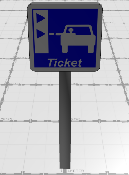 |
| G1 |  | 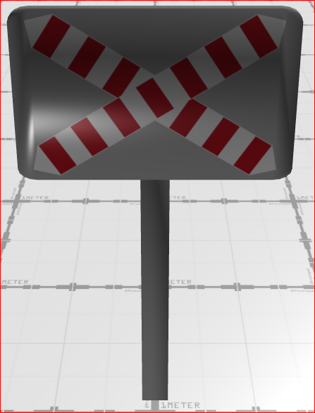 |
Road Sign Orientation
In Virtual Bench, road sign orientation plays a key role in determining visibility and proper assignment to drivers. If a sign is not correctly oriented, it might be unreadable or misinterpreted as intended for another road user.
To verify a sign’s orientation, zoom in and observe the mounting bar behind it. The flat side of the bar, as seen from above, indicates where the sign is displayed.
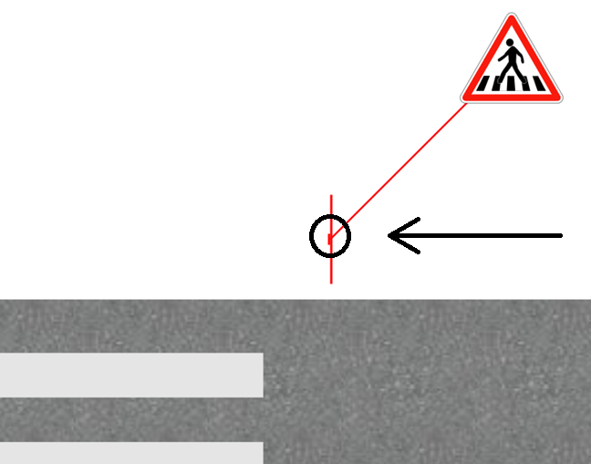
The orientation of a road sign can be adjusted using the Z-axis angle parameter, measured in degrees. This allows fine-tuning of the sign’s alignment to match intended visibility and positioning.
External parameters
You can edit the units
Show/Hide all parameters
| parameter | editable via "Parameter" tab | updatable via a mapping | description | default unit | type |
|---|---|---|---|---|---|
| X-axis position | ✔️ | ✔️ | Position of the element on the X-axis. | meter | Decimal number |
| Y-axis position | ✔️ | ✔️ | Position of the element on the Y-axis. | meter | Decimal number |
| Z-axis angle | ✔️ | ✔️ | Angle of rotation of the element compared to its initial position. | degree | Decimal number |
| Visibility | ✔️ | ✔️ | This parameter allows you to choose if you want the element to be visible or not on the scene during the execution of the scenario. If the item is part of a group, it can inherit the value of that group. | - | Enumeration (visible, hidden, inherit) |
| Speed | ✔️ | ✔️ | Speed writen on the panel (only for speed panels: B14, B25, B33 & B43). | kilometers per hour | Decimal number |
| iconX | ✔️ | ❌ | Relative position of the icon, from the origin of the road sign, on the X-axis. | meter | Decimal number |
| iconY | ✔️ | ❌ | Relative position of the icon, from the origin of the road sign, on the Y-axis. | meter | Decimal number |
| Threshold zoom out | ✔️ | ❌ | Zoom level from which its representation on the scene is no longer modified. | % | Decimal number |
| Length | ❌ | ❌ | Total distance of the path on X-axis. | meter | Decimal number |
| Size on Y-axis | ❌ | ❌ | Total distance of the path on Y-axis. | meter | Decimal number |
| Z-axis position | ❌ | ❌ | Position of the element on the Z-axis. | meter | Decimal number |
| Height | ❌ | ❌ | Height of the element. | meter | Decimal number |
| X-axis angle | ❌ | ❌ | Angle of the element on the X-axis. | degree | Decimal number |
| Y-axis angle | ❌ | ❌ | Angle of the element on the Y-axis. | degree | Decimal number |
| longitude coordinate | ❌ | ❌ | Automatically calculated longitude value, based on the origin defined for the context and the position of the element. | degree | Decimal number |
| latitude coordinate | ❌ | ❌ | Automatically calculated latitude value, based on the origin defined for the context and the position of the element. | degree | Decimal number |
Triggered behaviours
See Triggered behaviours and events page for more explanation: Triggered behaviours and events.
Show/Hide all triggered behaviours
Destroy
At the reception of the flow, the element is destroy.
No parameters for this triggered behaviour.
Events
See Triggered behaviours and events page for more explanation: Triggered behaviours and events.
Show/Hide all events
| event | description |
|---|---|
| On Parameter Value Changed | The element can send information to the model when the value of the selected parameter has changed |
| At initialization | The road sign can send information to the model once at initialization |
| Continually | The road sign can send information to the model continuously |